
AGSE 2026
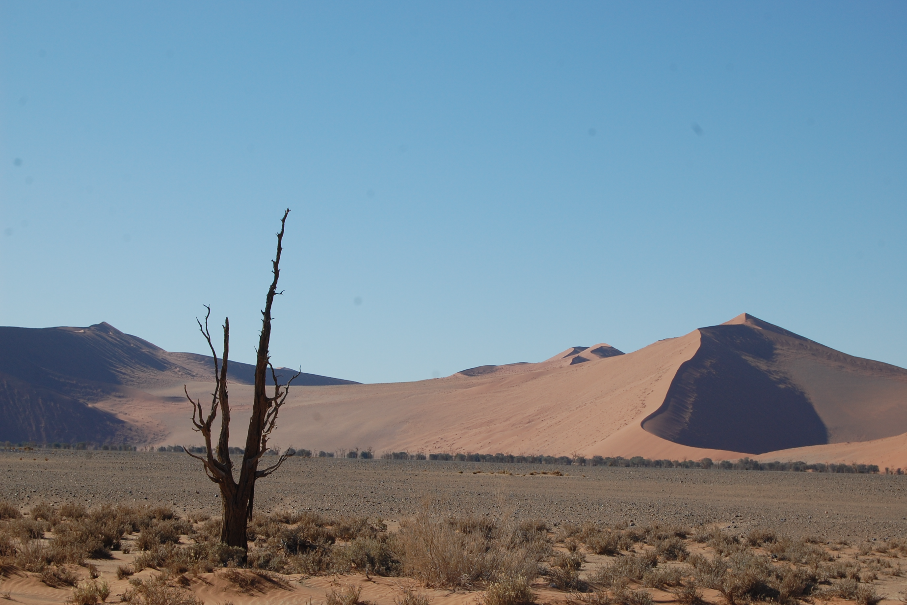
The challenge of climate change – possible contributions of geoinformation
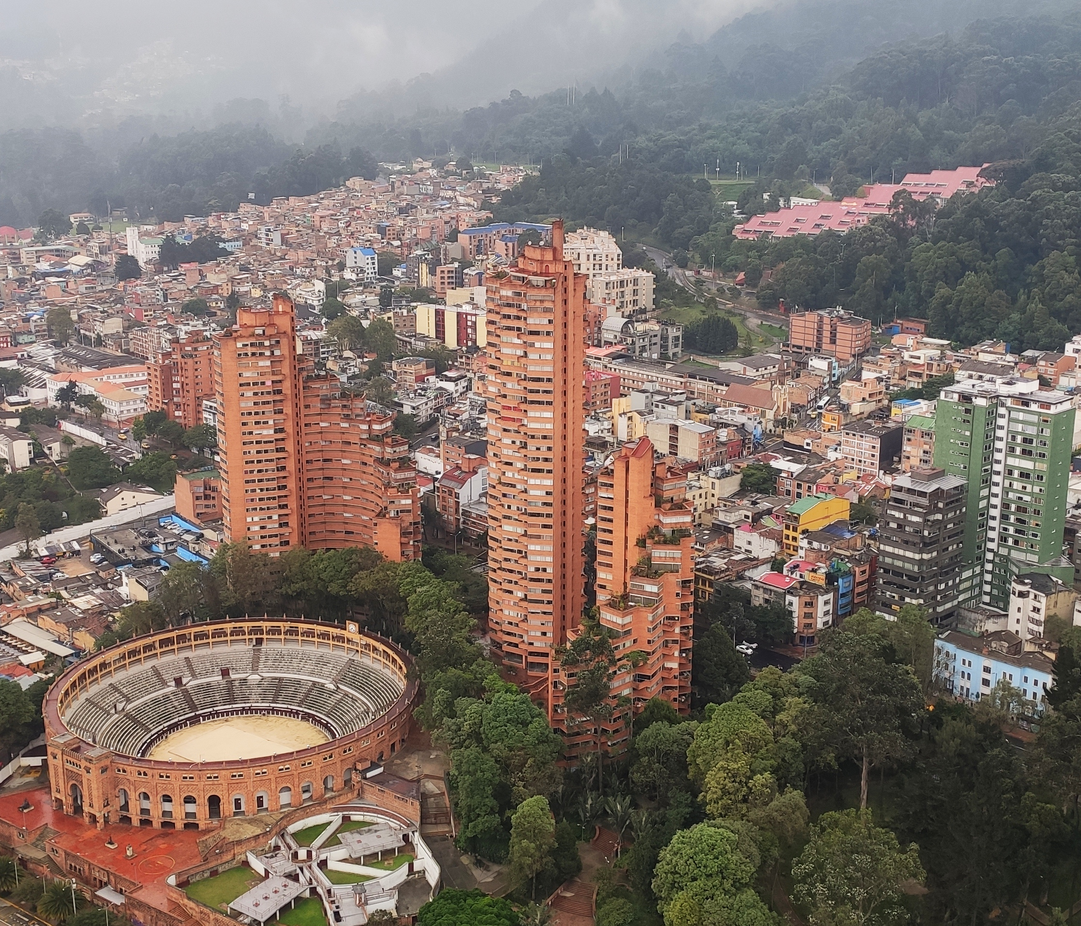
Kwame Nkrumah University of Science & Technology (KNUST), Kumasi, Ghana, 21.-25. September 2026
The challenge of climate change – possible contributions of geoinformation
Kwame Nkrumah University of Science & Technology (KNUST), Kumasi, Ghana, 21.-25. September 2026

Since 2008, AGSE is bringing together experts from around the world, AGSE fosters collaboration on cutting-edge research and practical applications in geospatial technologies, remote sensing, and GIS to address pressing global challenges.
The conference is closely related to the Master’s Programme in Photogrammetry and Geoinformatics with a global network of about 550 alumni. Since its beginning, the course is supported by the German Academic Exchange Service (DAAD) in its program for Development-Related Postgraduate Courses (EPOS).
Contributions on the key topics of the conference, or on topics related to them, are welcome.
All submissions must be original and not simultaneously submitted to another journal or conference. The following categories are welcome:
Please note the deadline for submissions is 17 May 2026.
Registration is open until 30 June 2026.
Registration

https://forms.cloud.microsoft/r/HQJn3S96iX
For HFT alumni (and, upon availability, for alumni of other German universitis) residing in DAC countries
Application is possible via eveeno: https://eveeno.com/AGSE-2026.
Entry to Ghana is permitted only when official proof of yellow fever vaccination is provided. Furthermore, we strongly advise you to ensure you have any necessary malaria treatment medicine with you, or, as a precautionary measure, consider undertaking malaria prophylaxis in advance.
Regarding visa regulations see the "GHANA VISA REGIME" at https://gis.gov.gh/visas/ or visit the Ghanaian embassy in your country. We don't recommend visa on arrival. Please note that accessing these website needs some patience...
Prof. Dr. Paul Rawiel, Dr. Anja Ernst, Prof. Dr. Franz-Josef Behr, Prof. Dr. Hardy Lehmkühler, Prof. Dr. Dietrich Schröder
Guest Houses on KNUST Campus
For booking contact:
The event is funded by the DAAD with funds from the Federal Ministry for Economic Cooperation and Development (BMZ)


The Challenge of Climate Change & Geoinformation Solutions
Since 2008, the Applied Geoinformatics for Society and Environment (AGSE) Conference has been a leading international platform for professionals and academics in geoinformatics. Bringing together experts from around the world, AGSE fosters collaboration on cutting-edge research and practical applications in geospatial technologies, remote sensing, and GIS to address pressing global challenges.
Applied Geoinformatics for Digital Transformation and Environmental Stewardship
AGSE 2022 is incorporated into the DAAD supported alumni work of the University of Applied Sciences Stuttgart. Therefore, participants from many countries worldwide contribute with experiences from their home countries.
With the wide topic "Applied Geoinformatics for Digital Transformation and Environmental Stewardship" the summer school aims at contributions of Earth Observation, geoinformatics and geospatial science ) for ongoing digitalization in our socienties and our role in the handling of environmental changes and corresponding activities.
The concept includes invited talks by international experts in combination with presentations by participants in the mornings and workshops in the afternoons on topics related to technological developments and recent data provision by Earth Observation Systems.
The objective of the conference was to 'take the benefits of geographic information technologies to a wide canvas of applicable areas'. Since 2008 we – scientists, practitioners, students and alumni – continue this path to empower one another in a participative way.
Geospatial Technology in Times of Global Challenges
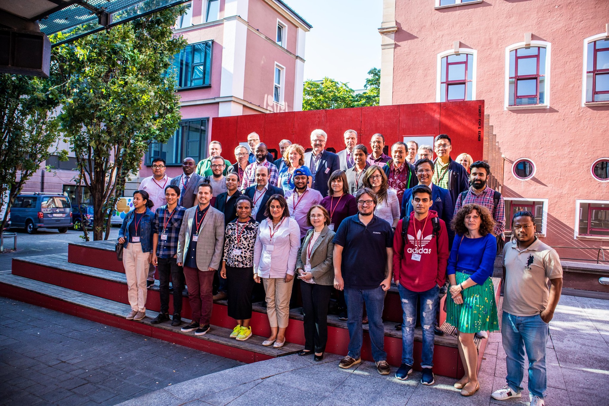
With more than 200 registered participants, AGSE 2021 (Applied Geoinformatics for Society and Environment) took place from November 24-26 as a hybrid conference – with a broadcast studio at HFT Stuttgart as well as streaming from the rooms of the partner university in Nepal, co-organized by the laboratory for interoperable and open source Geospatial software data and standards (HFT ICA-OSGeo-Lab). The continuous participation of 40 to 70 participants from (almost) all parts of the world over three days was a huge success.
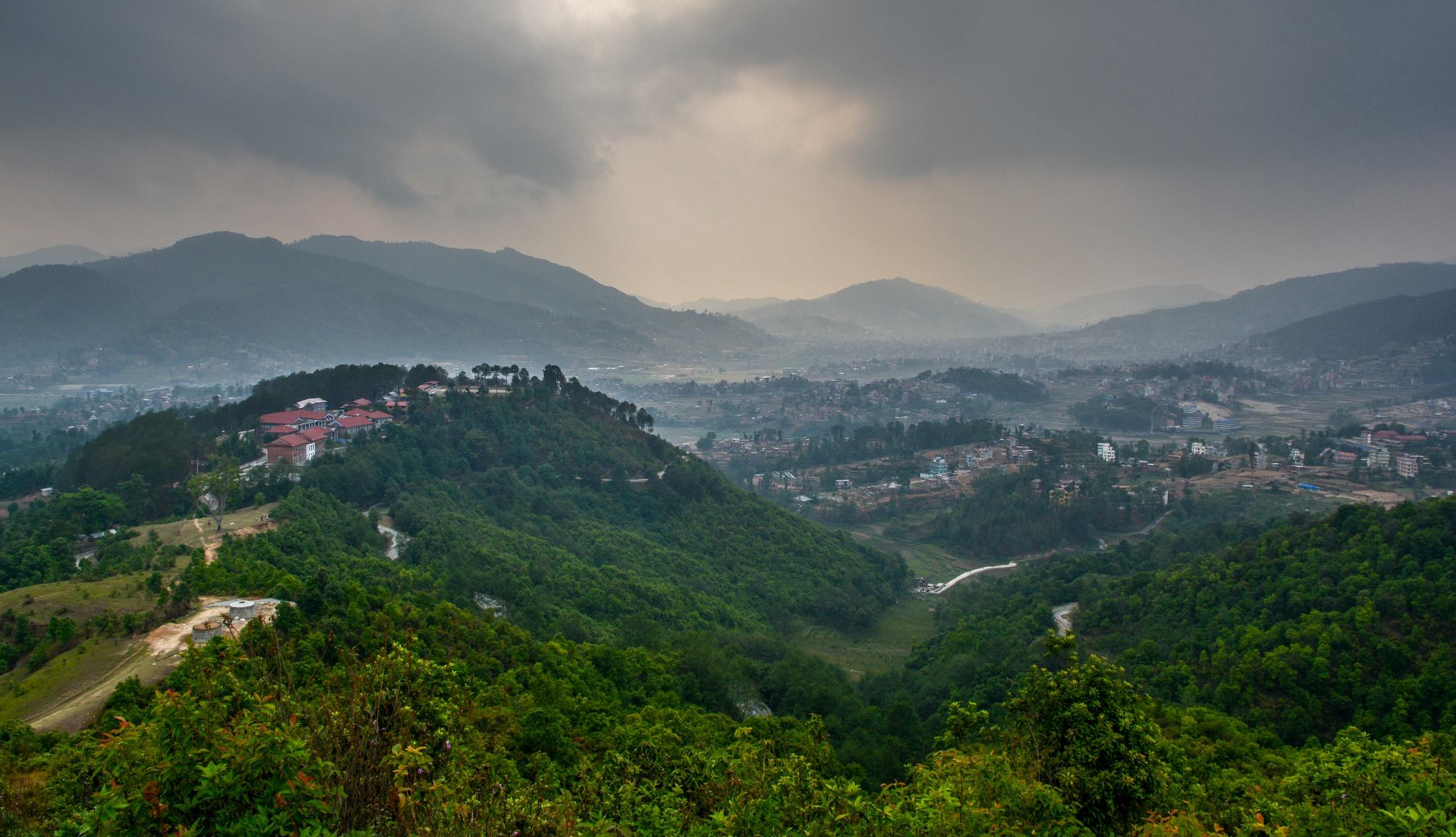
The alumni conference of the master’s program “Photogrammetry and Geoinformatics” had to overcome special hurdles this year. For a long time it was not certain whether a conference in presence at Kathmandu University in Nepal would be feasible during the Corona pandemic.
The planning and preparations in summer were still based on a presence event, because everyone would have preferred a face-to-face meeting in Kathmandu. With alumni and alumnae coming from all parts of the world, an online-only conference across time zones means a big challenge: for some it’s breakfast time, for others it’s the middle of the workday, after work, and some have to get up extra in the night. But the pandemic situation ultimately forced a switch to a hybrid conference. And that is why the organizers were very pleased that 58 alumni and alumnae from almost all continents of the world were present.
The now 11th AGSE conference was planned and implemented together with the Department of Geomatics Engineering, School of Engineering, Kathmandu University. Numerous international experts, many of them alumni of the study program, attended to listen to the interesting lectures on the topic “Geospatial Technology in Times of Global Challenges” and to exchange ideas in scientific discourse.
AGSE 2019 is incorporated into the DAAD supported alumni work of the University of Applied Sciences Stuttgart. Therefore, participants from many countries worldwide contribute with experiences from their home countries.
With the wide topic "Digital Landscapes: Chances for Development" the summer school aims at contributions of Earth Observation and Volunteered Geographic Information (VGI) for data collection and information provision. The support of findable, accessible, interoperable and reusable (FAIR) data by Spatial Data Infrastructures (SDIs) and collaborative data custodianship is another focus.
The concept includes invited talks by international experts in combination with presentations by participants in the mornings and workshops in the afternoons on topics related to technological developments and recent data provision by Earth Observation Systems.
Mother Earth – Geoscience for Crisis Management
The organizers invited to participate and explore the potential of geospatial technology and learn how Geospatial science and IT as well as remote sensing and photogrammetry act as a positive force for governments, society and industry providing support in a wide range of topics including disaster manegement, planning, development, utility and resource management, transportation, safety and emergency response, research and analysis.
The conference was organized by Namibia University of Science and Technology(NUSTI, Windhoek, Namibia) and Stuttgart University of Applied Sdences, Stuttgart Germany, co-organized by the ICA Commission on SDI and Standards.
Geoinformation – Supporting Crisis and Disaster Management
The 8th International Summer School of Applied Geoinformatics for Society and Environment (AGSE2017), which was co-organized by University of Applied Sciences Stuttgart, University of Tehran, German Academic Exchange Service (DAAD), and International Society for Photogrammetry and Remote Sensing (ISPRS) held at the Kish International Campus University of Tehran, Kish Island from April 29 to May 04, 2017. The overall goal of this conference was to take into account the current state-of-the-art in Geosciences related disciplines such as photogrammetry, remote sensing, and geo-information topics to a wide range of application areas, with significant focus on "Crisis and Disaster Management".
During this summer school different practical and educational workshops have been conducted by outstanding and internationally known researchers on different fields of geospatial data acquisition, analysis and application. Generally, about 23 articles and works in progress and about 11 workshops were presented during five days. The scope of the presentations covered the latest science and technology developments as well as recent applications and research activities for crisis and disaster management, risk assessments, monitoring natural and man-made disasters, based on earth observation or ground based techniques as well as the other contribution of geoinformatics, remote sensing, and planning to preparation, response, recovery, and mitigation of disasters. The overall success of AGSE2017 summer school was demonstrated by the impressive attendance, with more than 50 participants from universities and research organizations, but also from application oriented institutions, primarily from Iran but also from twelve other nations such as Germany, France, The Netherlands, Colombia, Kenya, Bangladesh, Ethiopia, Sri Lanka, India, Nigeria, Nepal, and Tanzania.
Continuing Geospatial Education
The objective of the conference is to 'take the benefits of geographic information technologies to a wide canvas of applicable areas, particularly in the realms of development, environment and social well-being'. Since 2008 we – scientists, practioners, students, alumni – continue this path to empower one another in a participative way.

The Geospatial Momentum for Society and Environment
This International Conference is organized with the aim of promoting geospatial technologies for society and environment and 'to offer an interdisciplinary, international forum for sharing knowledge about the application of geoinformatics with focus on the Millennium Development Goals'. AGSE is about empowerment and participation, and offers a platform for scientific contributions from academia and researchers about recent developments in geospatial information technology and applications. The AGSE2013 brought together specialists, practitioners, academics, students and the public to this common platform. There were 125 participants from six countries and 20 states of India, in this four-day event which comprised presentations based on a variety of topics and key note addresses from various renowned scientists. Each theme was monitored by the Chair and Co-Chair. The best papers were awarded during the valedictory function.

Geoinformation – Catalyst for planning, development and good governance
'A rolling stone gathers no moss' goes the adage and it applies very well to the globe-trotting Applied Geoinformatics for Society and Environment (AGSE) series of conferences and summer workshops. What started off in 2008 in Asia, in the Indian sub-continent on a small scale has come full circle and after five years now returns to Asia, to the Universiti Teknologi Malaysia. The conference has over the years moved from Asia (Trivandrum, 2008) to Europe (Stuttgart, 2009), to South America (Arequipa, 2010), to Africa (Nairobi, 2011) and back to Asia (Malaysia, 2012).
The humble objective of the conference is to 'take the benefits of geographic information technologies to a wide canvas of applicable areas, particularly in the realms of development, environment and social well-being'. AGSE2012 therefore pledges itself to align with the aims of the United Nations Millennium Development Goals and has taken up the motto 'Geoinformation – Catalyst for Planning, Development and Good Governance' for this year's deliberations. It also aims at internationalization of education and has become a venue where academicians, researchers, students, scientists and technologists from across the globe can come together in a very open environment of scientific debate and come out enriched from such encounters. The affiliations of the authors in AGSE2012 cover 21 nations from Germany, India, USA, Malaysia, Sri Lanka, Indonesia, Austria, Philippines, Italy, Nepal, Egypt, Bolivia, Bangladesh, Pakistan, Tanzania, Sudan, Kenya, Zambia, Lithuania, to Somalia and Romania.
AGSE 2011 is special; it is being held for the first time in Africa, and particularly so in Nairobi, Kenya, the city that hosts the headquarters of the United Nations Environmental Programme (UNEP). Besides drawing a variety of papers from the international forum of the alumni of Stuttgart University of Applied Sciences, a considerable contribution from other researchers has addressed the use geoinformatics in Africa, and more so from the host country. The scientific and application areas presented in the papers are classed into eleven broad sub-themes namely: (1) General application papers, (2) Internet-based and open source solutions, (3) Advances in GIScience and current developments, (4) Spatial data infrastructures, (5) Environmental issues and sustainable development, (6) Natural resource management, and monitoring (7) Disaster and risk management, (8) Geoinformatics in health, (9)Urban and regional planning, (10) GIS in Education, and (11) Alumni experiences and business development.
 [GFDL(www.gnu.org/copyleft/fdl.html) or CC-BY-SA-3.0 (www.creativecommons.org/licenses/by-sa/3.0/)], from
Wikimedia Commons; http://commons.wikimedia.org/wiki/File:Giraffe_-_Skyline_-_Nairobi_-_Park.jpg [2011-08-05]")
Below the El Misti volcano
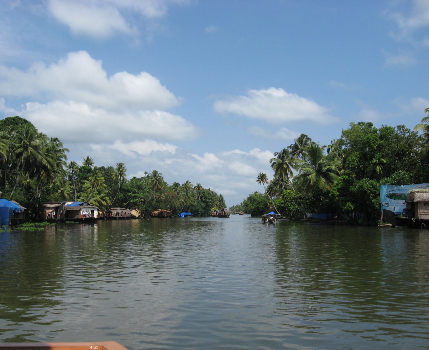
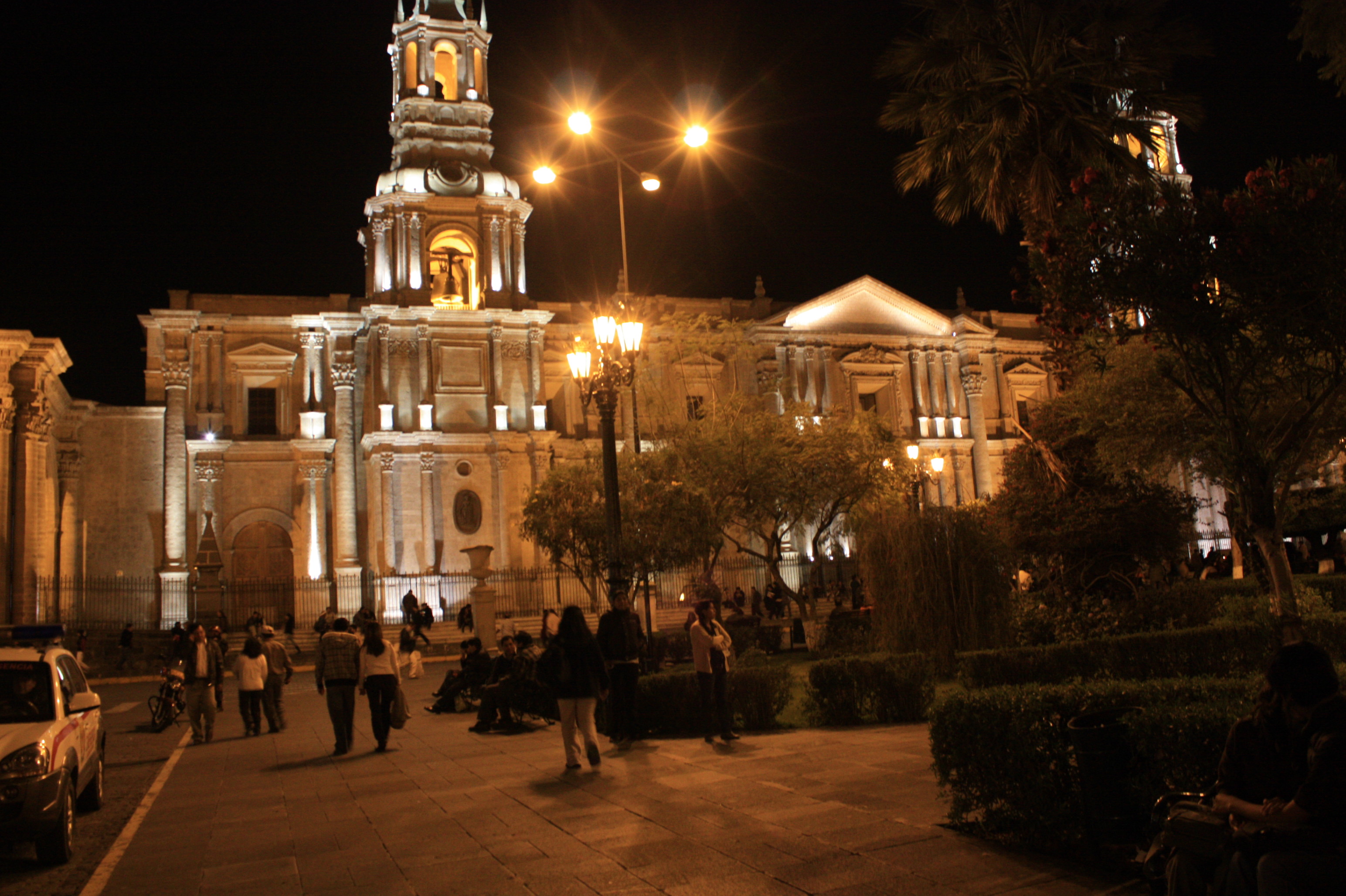
The third AGSE2010 (the Third Applied Geoinformatics for Society and Environment Conference 2010) jointly organized by the Stuttgart University of Applied Sciences, Germany (SUAS) and the Catholic University of Santa Maria (UCSM) took place between Aug 3 and 6, 2010 at Arequipa, Peru, under the benign gaze of the El Misti volcano. This was the third continent the conference was travelling to in as many years, the first being in the humid tropical environments of Kerala, in southern India, within the continent of Asia; the second in the temperate zone of southern Germany in Stuttgart, in Europe. In a way this could be record, because the fourth conference plans to move to Nairobi, in the continent of Africa. It won’t surprise anyone if an AGSE took place in Antarctica for that matter.
Taking the benefits of geographic information technologies
The international flavour of the participants and the alumni of the department as well as the application and scope of GIS and related technologies across the world are revealed by the fact that the papers in this volume have originated from over 17 countries, spanning the globe from Indonesia to El Salvador and from Canada to Sri Lanka. Papers focusing on pressing socio-economic issues in developing nations like developing irrigation and other water distribution networks, dynamic 3D flood information systems and identification of erosion prone areas, drought risk assessment for poverty alleviation in Africa, locating wastewater treatment plants, land collapse hazard modelling and hazard zonation share space with cutting edge technology papers on mashups, aerial surveys with Gyrocopter, Web GIS based 3D visualization, and applications of the latest LiDAR technologies in 3D Building Model Reconstruction, Watershed Modeling and Hurricane Disaster Management, and LiDAR data visualization. The papers on alumni experiences and entrepreneurship in Geoinformatics hold interest to the students with a business interest and innovative spirit. Tutorial style papers and cookbooks on geospatial visual analysis, geo-mashups, cityGML, acquisition of spatial data with terrestrial, airborne and mobile laserscanning, social networking in international contexts, setting up WMS/WFS servers, GPS data collection and GIS data

Since 2008, the Applied Geoinformatics for Society and Environment (AGSE) Conference has been a leading international platform for professionals and academics in geoinformatics. Bringing together experts from around the world, AGSE fosters collaboration on cutting-edge research and practical applications in geospatial technologies, remote sensing, and GIS to address pressing global challenges.
